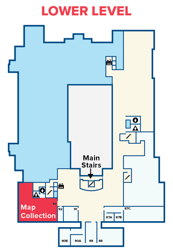
Map Collection
Collection Overview
The UC Davis Library Map Collection is an extensive research-level collection of maps, both print and electronic, and a supporting collection of guides, gazetteers, and atlases.
Subject Coverage
The collection contains many topographic maps and maps of agricultural and related areas, subjects emphasized include: soils, vegetation, irrigation, land use, and water resources. Also available are maps relating to economics, ethnology, history, nuclear energy, governments, and other subjects.
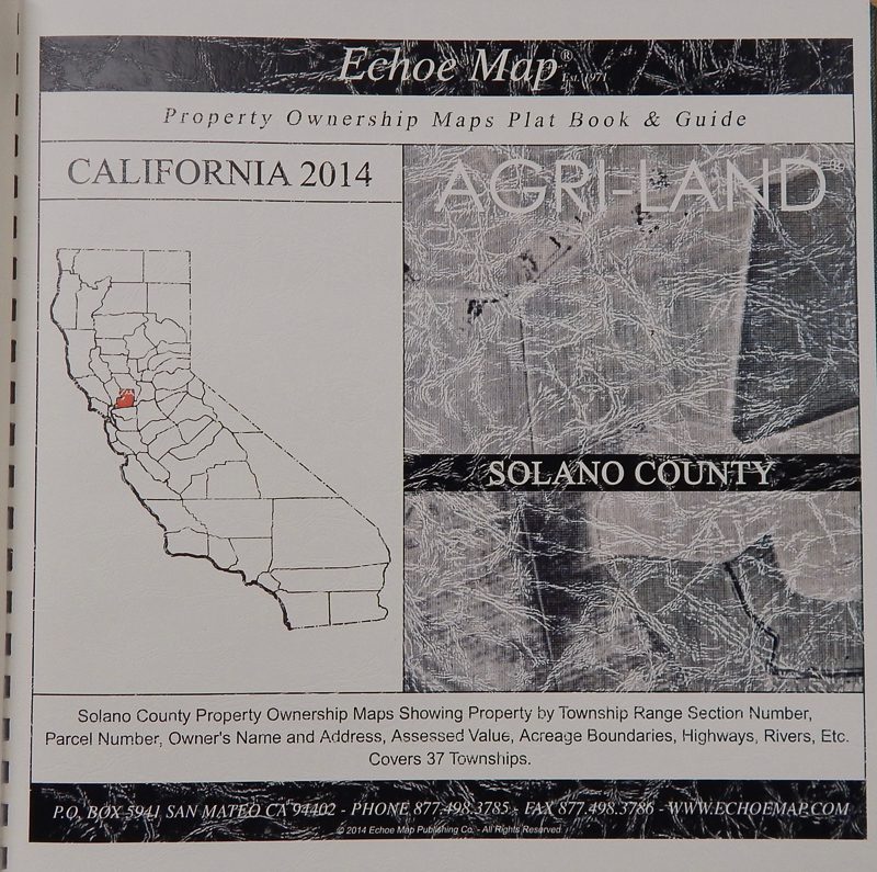
Additional collection emphases include:
- Current topographic maps (1:24,000 scale for California and the western United States of America, 1:250,000 for the United States, and 1:1,000,000 for the world)
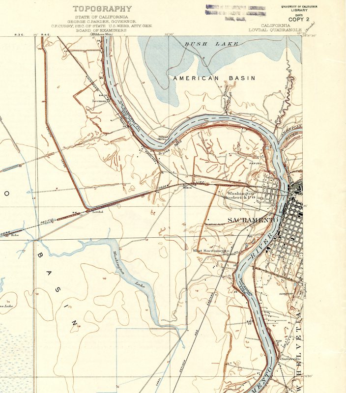
- Historic topographic maps of California
- Aerial photography of the Central Valley
- California road maps
- Geological and geophysical maps
- Nautical charts of the west coast of North America
Geographic Coverage
The Map collection emphasizes the Central California Valley (Sacramento and San Joaquin River Valleys) in all scales, formats, and subjects. The collection also emphasizes maps (especially for agricultural-related subjects) of areas with a similar agro-climate to the Central Valley (i.e., Mediterranean) and for major viticulture and wine producing regions. Maps of other regions of the world are available at a smaller scale and on more limited subjects. (e.g., topography, roads).
Aerial Photography
The Map Collection has many aerial photography sets of the immediate area (i.e., Yolo, Sacramento, and Solano Counties). Other selected areas of California are also represented in various scales and types of aerial photography/remote sensing.
Sanborn Maps
Sanborn Fire Insurance maps are available in the UC Davis Shields Library Map room. Most are in black and white on microfilm. Self-service copying and scanning is available.
UC Davis also subscribes to the Digital Sanborn Maps 1867-1970 for California and Nevada. These may be accessed from campus computers. UC Davis faculty, staff, and students may also access them from off campus by using their campus login and the library VPN.
Accessing the Collection
Search Online for a Map in Our Collection
Except for the USGS topographic map series, all maps in the collection are cataloged and can be found via UC Library Search.
Tips to help your search:
- Use the Advanced Search and limit the material type to “Maps.” This will retrieve all sheet maps and most atlases that meet your criteria.
- Select “Subject” from the search filters options and search for the place name (e.g., Davis) you are interested in.
- Use the other search fields to limit your search by keywords if you are interested in a specific topic (e.g., soils, irrigation).
- If you do not find what you want, broaden the search by using a broader geographic subject (e.g., Yolo instead of Davis).
Retrieve Items in the Map Room
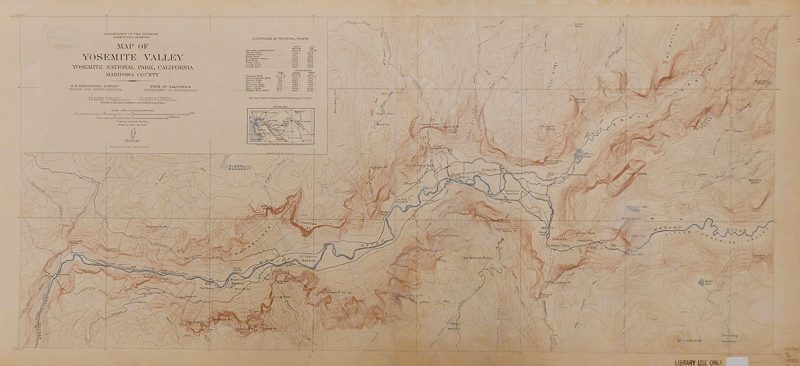
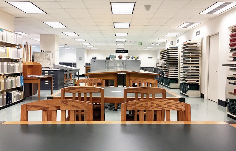
Cataloged maps are filed by call number in cases in the Map Room. Maps designated “Old Maps” are in a locked case and can be accessed once in the Map Room. USGS topographic maps are filed alphabetically by map name within each series. Indexes are available to help you determine the map name.
Our collection is organized by the Library of Congress (LC) classification system.
The majority of the collection is open stacks, so you may retrieve the maps for yourself. Due to repeated loss and damage, the Map Collection is non-circulating and can only viewed in the Map room by appointment.
Other Map Collections
If the UC Davis Library does not have the map you want, check with the Map Assistant about the possibility of gaining access to maps at the other University of California Campuses. The other Library’s web sites are also a good source of information about their collection and contain many useful links to On-line resources.
GIS Resources and Related Guides
Digital geospatial data are collected with an emphasis on the Central Valley, California, and areas related to current and anticipated University research and instruction needs, with an emphasis on data that may be made freely available to the University community.
